Elster Creek catchment flood management plan
What is the Elster Creek Catchment Flood Management Plan?
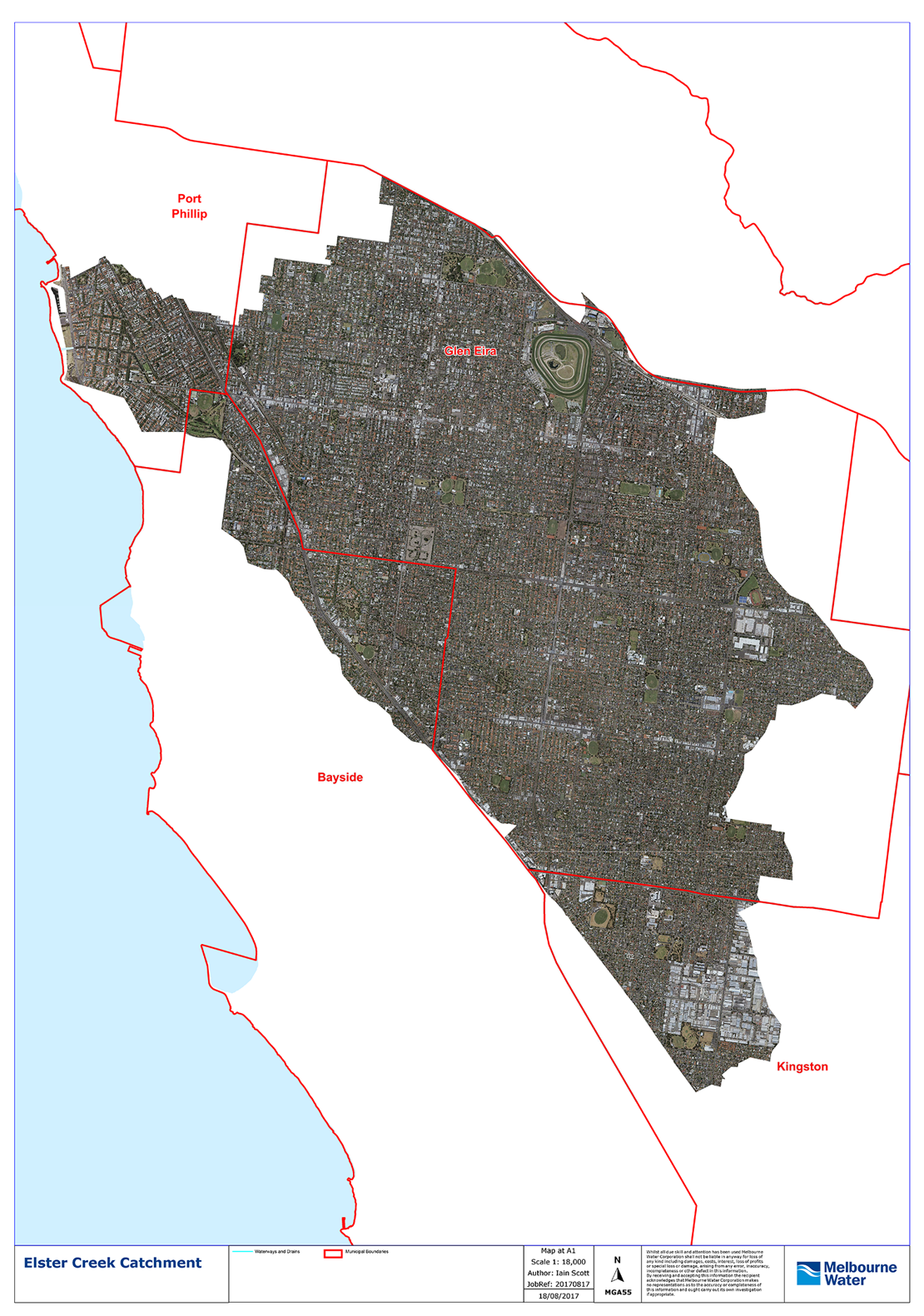
The Elster Creek Catchment includes areas of Elwood, St Kilda and Ripponlea in Port Phillip.
The catchment has a history of widespread flooding that will become further impacted by climate change.
The catchment spans four municipal boundaries and Port Phillip is working with the cities of Bayside, Glen Eira and Kingston, and with Melbourne Water, to plan for and reduce the impact of flooding across the catchment.
We worked together to develop the Elster Creek Catchment Flood Management Plan, which outlined a five-year program to reduce flood risks across the catchment. This plan has now come to a conclusion, and we are now working on the next iteration of the collaboration and associated actions.
A major deliverable in the Plan is to seek opportunities to identify new or expanded infrastructure works to reduce flooding, in particular in or around Elsternwick Park. Melbourne Water have completed an analysis of various major infrastructure options to ultimately reduce flooding in Elwood. The most promising option is to expand the existing drain that runs from Elwood Canal, under Elsternwick Park and Elwood Park, to the Bay at Head Street.
Melbourne Water are now completing detailed design of this project. You can find out more about progress on this project by visiting the Melbourne Water project page.
The Flood Management Plan is available on the Melbourne Water website.
Relevant resources
2020 Memorandum of Understanding (PDF 174 MB)
2018 Elster Creek Catchment Action Plan (PDF 800 KB)
2017 Memorandum of Understanding (PDF 800 KB)
CEO Forum Meeting Summaries (PDF 300 KB)
Project Working Group Meeting Summaries (PDF 300 KB)
Dandenong Integrated Water Management Forum - Strategic Direction Statement
Map of the catchment
Is my home in a flood zone?
The Planning Scheme includes a 'Special Building Overlay' to identify properties subject to flooding.
To check if your property is in a special building overlay, enter your address into Planning Ahead.